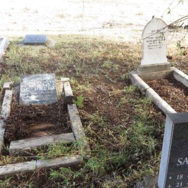
Free State, BLOEMFONTEIN district, De Brug, De Aar 658_2, farm cemetery
Cemetery information:-
The farm is approximately 50 kilometers west from Bloemfontein, near De Brug station.
Album incomplete.
eGGSA captions by: Sue van der Berg
The GGSA Cemetery DVD only has information on the cemetery location.
Cemetery ID: 6082
Google Earth Cemetery Initiative Information:-
GPSID: 7275
Approx GPS coordinates of the farm De Aar: -29 13.207, 25 48.151


