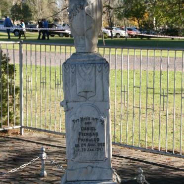
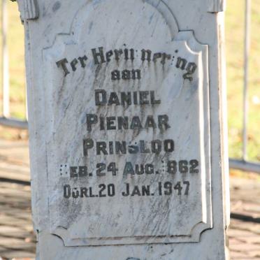
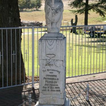
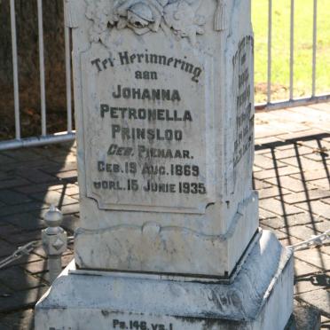
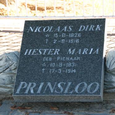
Free State, CLOCOLAN district, Rietkuil, farm cemetery
Cemetery / Memorials Information:
These photos were submitted as Rietkuil, Clocolan district. The GPS below is where the farm was found on a map. We are not sure if the graves are in fact located on this farm.
Album complete at the time of photographing.
Photographs contributed by: MCC Fourie
eGGSA captions by: Fern Swales
The GSSA Gravestone Transcription Index (GTI) only has information on the cemetery location.
Cemetery ID: 7693 GPSID: 9262
GPS of Rietkuil farm: Approx. -28 53.326, 27 33.695
