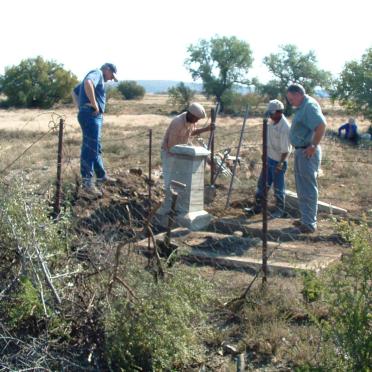
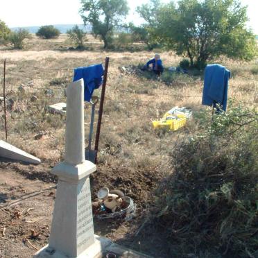
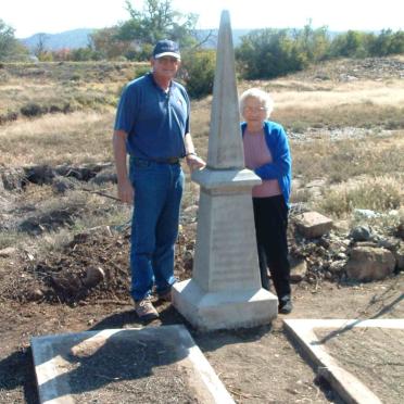
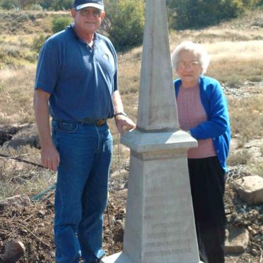
Free State, FAURESMITH district, Kalkfonteindam, Rooirand 82, farm cemetery
Album information:-
Graves are about 600 m East of the present farmhouse.
The foundations of the original homestead and barns are still visible.
eGGSA captions by: Garrett de Villiers.
The GGSA Cemetery DVD only has information on the location of the cemetery
Cemetery ID: 3913
Google Earth Project Information:-
GPSID: 4647
GPS: -29 38.181, 25 21.174


